The Mismapping of America
- Description
- Contents
- Reviews
The history of five major cartographic errrors of American geography that have had considerable resonance long after they were perpetrated.
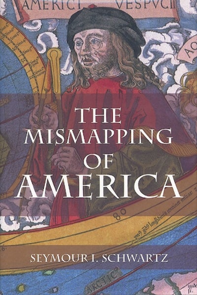
The Mismapping of America presents and analyzes the significant cartographic errors that have shaped the history of the United States. Perhaps the most blatant error is the very name "America," that honors Amerigo Vespucci,who not only never set foot on North American soil, but also played no significant role in the discovery of South America. The appearance of the name "America" imprinted on a map ensured its permanence.
Other significant errors explored in The Mismapping of America include Giovanni da Verrazzano's misinterpretation of Pamlico or Albermarle Sound for the Pacific Ocean, thereby suggesting the presence of an isthmus in the middle of the North American continent; the existence of a direct North West passage between the Atlantic and Pacific oceans; the misconception that California was an island; and the insertion on Lake Superior of a fictitious island that is specificallyreferred to in defining the boundary of the United States. The inclusion of pertinent rare maps enhances this rich and revealing narrative of several intriguing episodes in the history of the geographic evolution of the United States.
Seymour I. Schwartz is the Distinguished Alumni Professor of Surgery at the University of Rochester, and an expert on the history of mapping America. He is the coauthor of Mapping of America and author of The French and Indian War 1754-1763: The Imperial Struggle for North America and This Land is Your Land.
The Greatest Misnomer on Planet Earth
Cinching a Corset of Convenience
Depicting a Desire
Formed fancy Persisted in Face of Facts
French Fantasies
Cinching a Corset of Convenience
Depicting a Desire
Formed fancy Persisted in Face of Facts
French Fantasies
"The Mismapping of America[is] an enjoyable book, packed with information and illustrated with 72 maps and portraits. THE PORTOLAN, Journal of the Washington Map Society" .
"Besides being an enjoyable read, researchers will most likely be interested in this book for the author's thorough research and the lists of suggested additional reading. Western Association of Map Libraries" .
"Entertaining account...if you have any flair for things related to sea navigation, then I do not think you will be disappointed." David H. Gray, INTERNATIONAL JOURNAL OF MARITIME HISTORY
"The map plates are . . . amazing." THE GUARDIAN, November 22, 2008
Paperback
9781580463027
October 2008
£27.99 / $34.95


